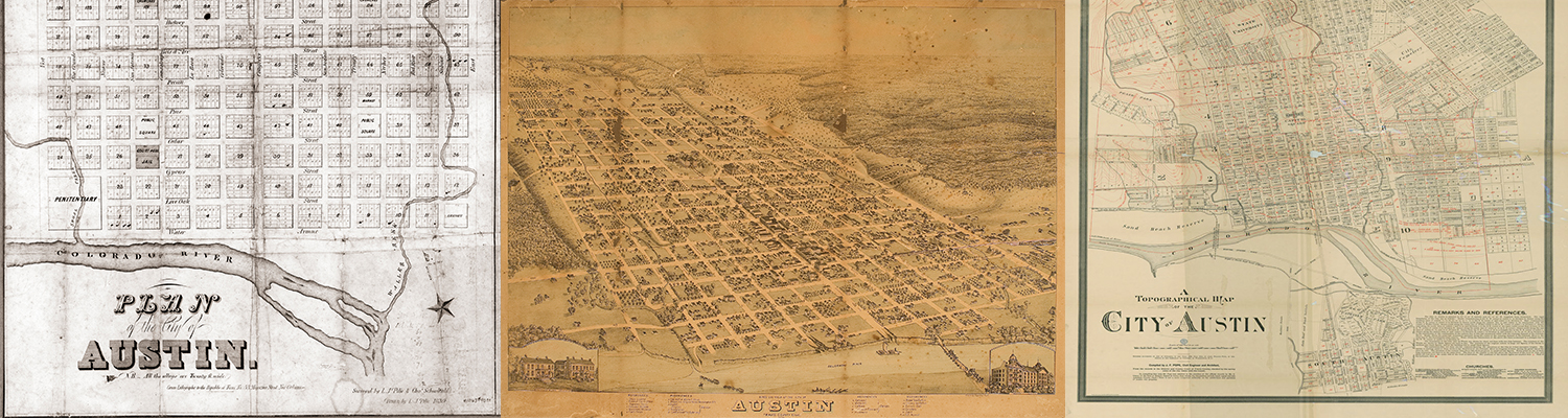
The Austin History Center has more than one thousand maps of Austin and Travis County from the mid-1800s to the present. These maps illustrate the City’s changing size and shape over the years and offer invaluable clues to the history of structures and landmarks long since gone from our landscape. Learn more about AHC’s map collections on our main website.
